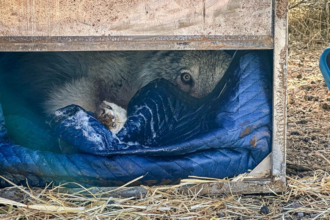
The state provides approximate location of GPS-collared wolves to ranchers and the public once a day.
California ranchers say an online map that shows the approximate locations of GPS-collared wolves is a step in the right direction but lacks real-time tracking and accuracy to be truly effective.
The California Department of Fish and Wildlife (CDFW) launched its “Wolf Tracker” feature on its website in mid-May. The automated wolf location mapping system is available to the public and shows the approximate location of GPS-collared wolves across the state.
Ryan Walker, president of the Siskiyou County Farm Bureau, told The Epoch Times that ranchers have for many years asked the state for as much real-time location data on wolves as they can get to protect both their livestock and livelihoods.
“For a long time, CDFW—through some sort of hyper-paranoid sense that we were out to get the wolves—would not share that information … or it took a while to get to us,” Walker said. “It was frustrating.”
The online map is updated more slowly, and the data is less precise than ranchers had hoped, but it’s better than nothing, he said.
“There’s a lot of data we don’t have for sure, and so you take what you can get,” he said. “We’re getting some pretty good data once a day. It’s something.”
CDFW usually programs the GPS collars to collect three locations from dusk to dawn, when wolves are most active, and a fourth point at midday to conserve battery life on the collars. The collars collect location data to transmit to CDFW each morning, but transmission sometimes fails or is delayed because of weather conditions or dense forest cover, according to the agency.
The location data is automatically transmitted to the online map, which shows individual wolves as a hexagonal cell. When clicked, it provides information about the wolf’s pack, the general area it’s in, and the last transmission date.
By Brad Jones


