

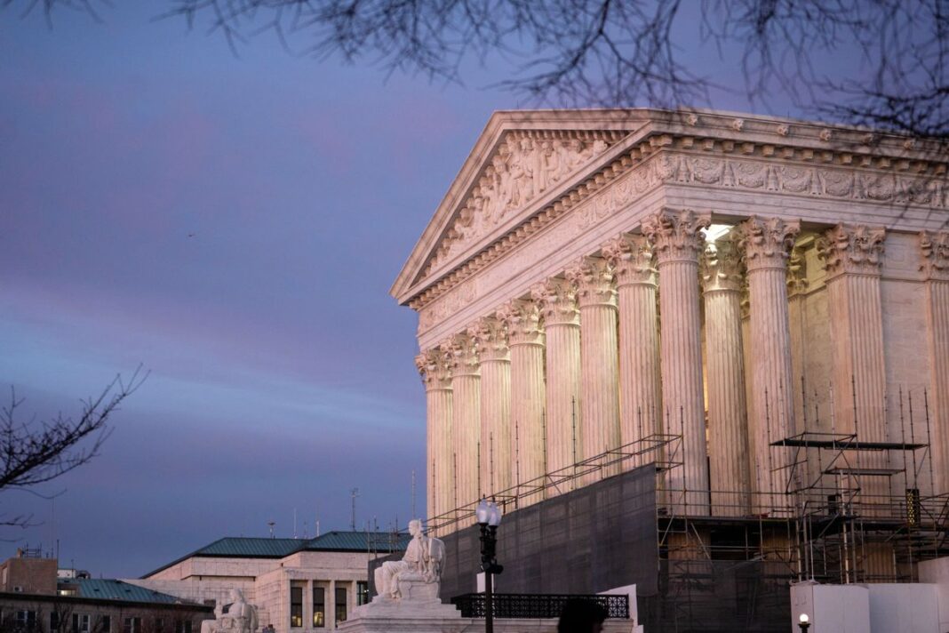
Major cities including Washington, New York, Philadelphia, and Boston could be impacted, while the agency warned of ice accumulation in the South.
The National Weather Service (NWS) said that a winter storm could bring significant amounts of ice accumulation from New Mexico to the Carolinas, potentially causing widespread tree damage and power outages, starting Friday and lasting until the weekend.
Major cities including Washington, New York, Philadelphia, and Boston could see snow that would make it difficult to travel. Around 100 million people were under some type of federal winter weather watch, warning, or advisory on Wednesday ahead of the storm, according to a map updated by the NWS on Thursday.
The agency said that the forecast track of the storm is still uncertain, while its intensity is still unclear. Residents in the path of the weather system were advised to start preparing for the worst and pay attention to updates.
Local maximum snowfall amounts could total above 12 inches in some places, while “broad swaths” of freezing rain and sleet are expected in the southern Plains, Lower Mississippi Valley, mid-South, and Carolinas. In those areas, tree damage and power outages are likely.
Along with the winter storm, areas of the United States will experience extreme cold as “sub-zero” temperatures will spread from the Plains to the Northeast by Sunday, and the temperatures will reach the Gulf Coast states by the early part of next week, it said.
“Nearly everyone east of the Rockies will see impacts from snow, ice, and/or extreme cold beginning by Friday and lasting through early next week,” the NWS wrote in a social media bulletin late on Wednesday. “Get prepared ahead of the storm so your weekend plans can be to stay home and stay warm.”
“Snow amounts could reach a foot or more in the I-95 major cities from D.C. to Boston,” said weather service forecasters on the East Coast, who are increasingly confident the storm will strike the big cities. Meanwhile, snow and ice will likely produce significant flight delays and cancellations at major airport hubs.
In Washington, “the combination of heavy snow and ice alongside prolonged very cold temperatures presents a unique and significant risk to life and property across virtually the entire region,” forecasters in the weather service’s Washington and Baltimore office warned.
And for motorists driving during the winter event, the NWS warned, “If you encounter a snow squall while driving and cannot safely exit the roadway, reduce speed, turn on your lights and hazards, and avoid slamming on the brakes.”


